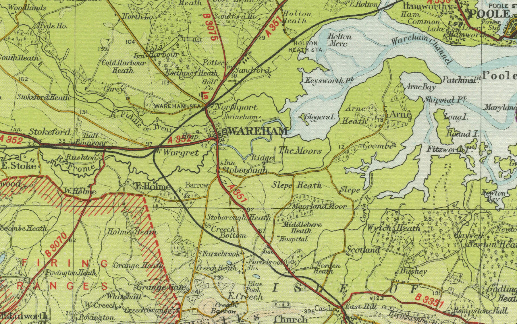
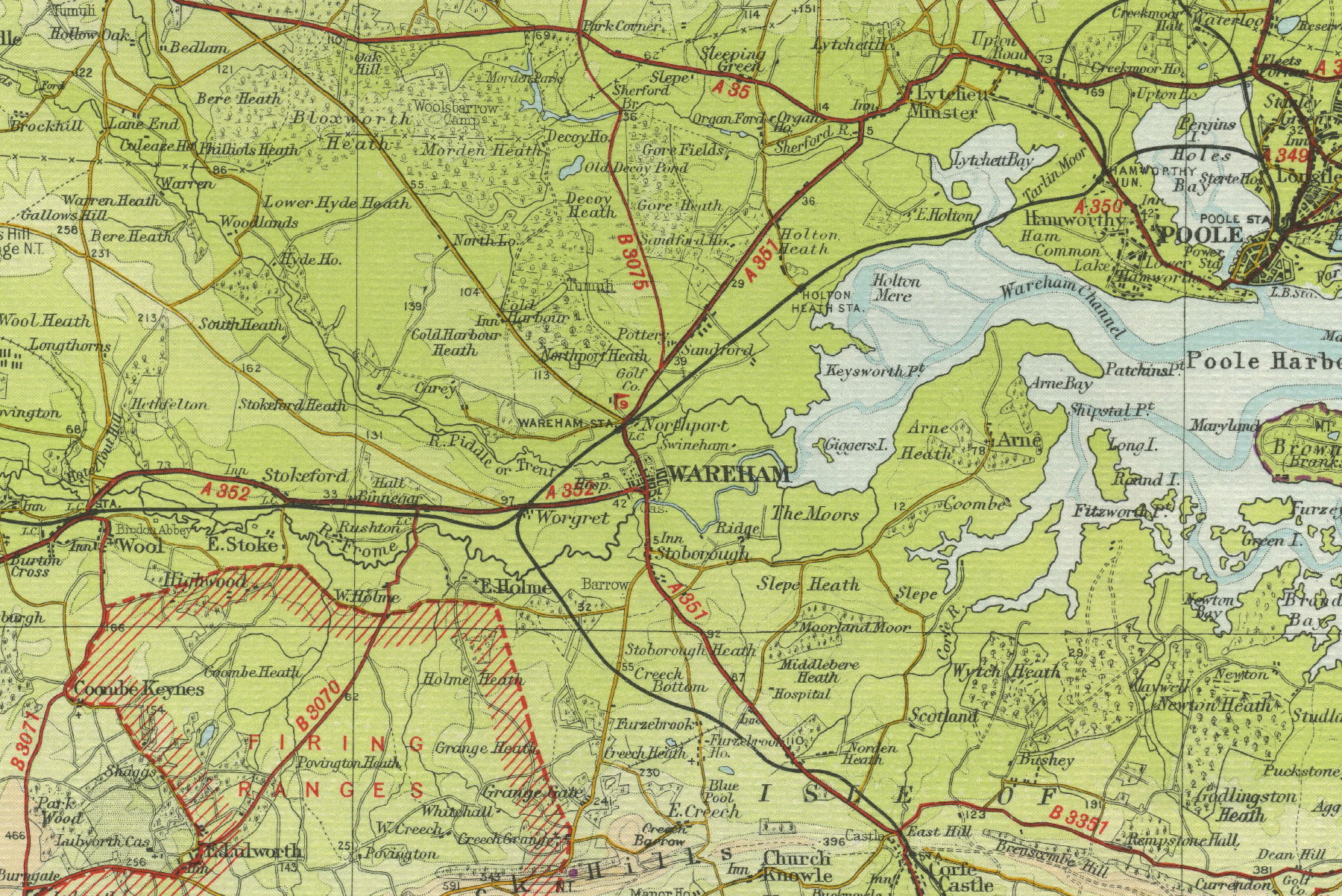
Wareham
Wareham lies on the River Frome 10 miles west of Poole in Dorset. With a population of over 5000, Wareham has been a market town since Saxon times and is still encircled by ancient earthworks. A fire in the mid eighteenth century destroyed much of the town, which was largely rebuilt in Georgian times, although some of the older architecture remains.
The map below shows
the features of the town of Wareham as it was in the mid twentieth
century. Click on a selected area of the map below to see an
enlargement.
|